


In a vertical city like Vancouver, Burnaby, or Coquitlam, inspecting the exterior envelope of a 30-storey residential concrete tower has historically been a dangerous, costly, and disruptive logistical ordeal.
To inspect balcony membranes, spalling concrete, window glazing gaskets, and SBS roofing membranes, engineering consultants have traditionally relied on swing-stage scaffolding or industrial rope-access technicians (rappelling down facades on harnesses). Setting up swing-stages can cost a strata corporation $20,000 to $45,000 before an engineer even logs a single observation, while workers dangling outside bedroom windows creates major privacy and security concerns for residents.
The Autonomous Drone Revolution in Strata Inspections
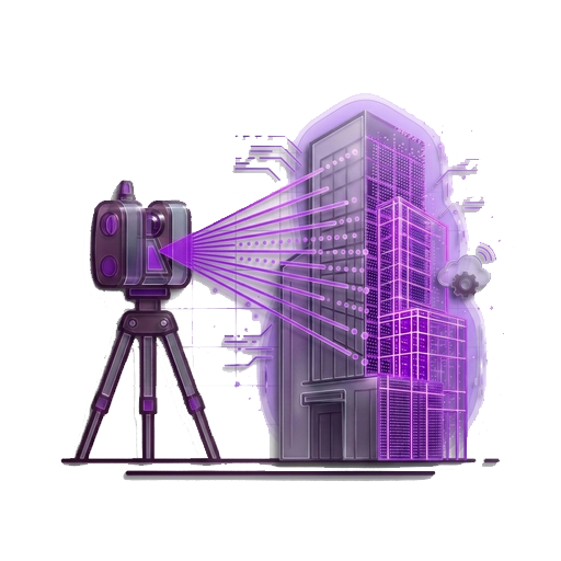
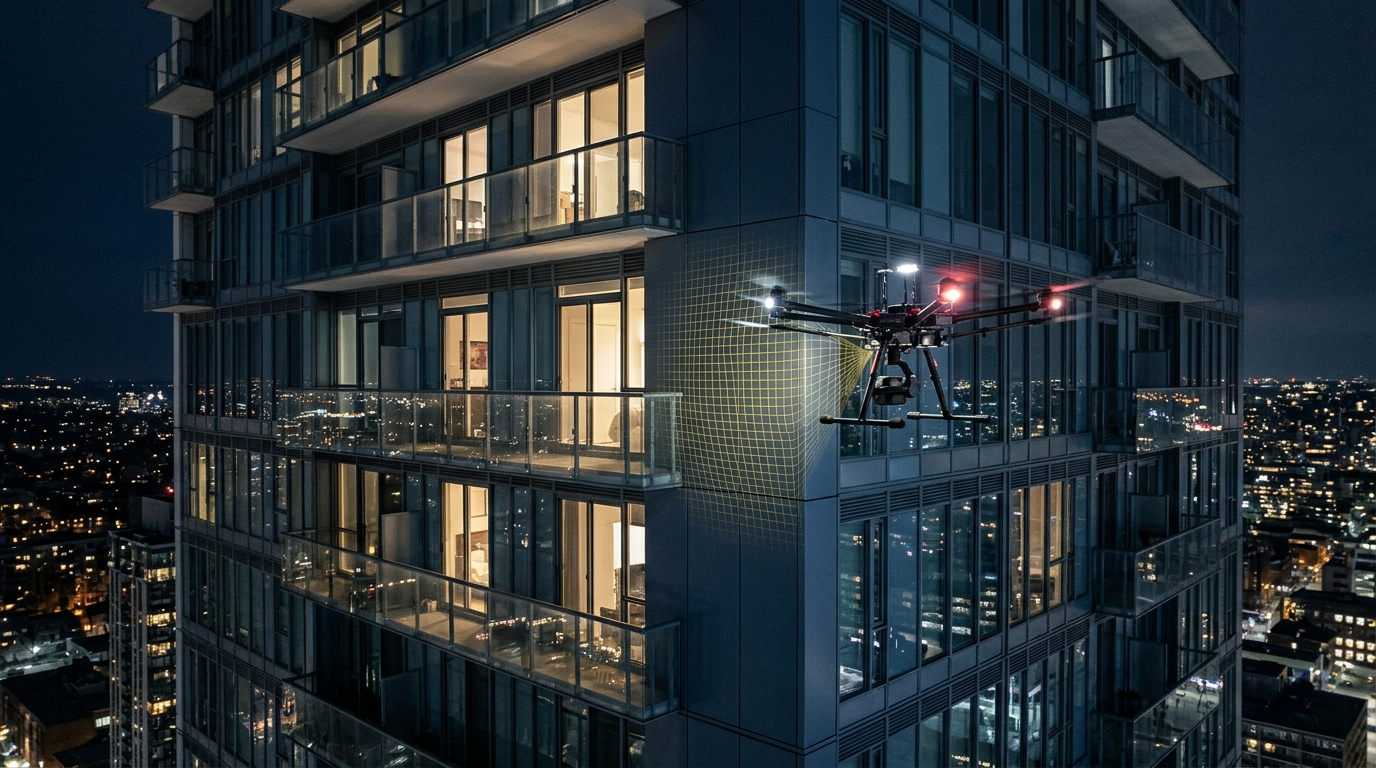
Commercial Remotely Piloted Aircraft Systems (RPAS)—commonly known as inspection drones—have fundamentally rewritten this economic equation. Utilizing automated flight paths programmed via GPS and optical collision-avoidance sensors, an industrial survey drone can circumnavigate a 35-storey building in hours, capturing thousands of ultra-high-resolution images with sub-centimeter ground sample distance (GSD).
What Can Drone Photogrammetry Detect?
Equipped with 45-megapixel full-frame mechanical shutter cameras and radiometric thermal infrared sensors, drone surveys provide forensic clarity across multiple building components:
- Rooftop Membrane Punctures & Ponding: Visual orthomosaics map standing water, blistering, and seam separation across 2-ply SBS torch-on roofs, down to the millimeter.
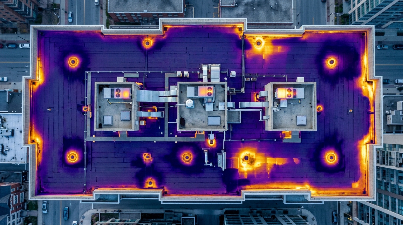
- Thermal Heat Loss & Moisture Entrapment: Radiometric thermal sensors detect temperature differentials. Because trapped moisture retains heat longer than dry insulation, nighttime thermal flights identify hidden roof leaks before water drips through a penthouse ceiling.
- Concrete Spalling & Rebar Rusting: High-resolution telephoto lenses zoom in on balcony slab edges, identifying micro-cracks and rust staining before spalling concrete falls into pedestrian courtyards.
- Window Seal & Gasket Degradation: Automated oblique angles photograph every window frame and silicone sealant bead across all elevations.
Regulatory Compliance: Transport Canada Advanced RPAS Rules
Operating drones in dense urban environments adjacent to residential high-rises and heliports (such as Vancouver Harbour Heliport) requires strict regulatory compliance under Transport Canada Canadian Aviation Regulations (CARs Part IX).
At Tucker Technology Consulting, all UAV survey operations are conducted by certified Advanced RPAS pilots operating with Micro-Aviation Approvals, NAV CANADA controlled airspace clearances, and comprehensive commercial liability insurance. Flight paths maintain calibrated safety buffers, and camera angles are strictly programmed outward or obliquely toward structural elements to protect owner privacy.
Explore Canadian aviation laws and aerial building enclosure inspection standards:
- Transport Canada: Drone Safety & Canadian Aviation Regulations (Part IX) — Official federal standards for advanced commercial RPAS operations in controlled airspace.
- ASTM E2813: Standard Practice for Building Enclosure Commissioning — Rigorous consensus standard for verifying water-tightness and thermal integrity in building envelopes.
- Pix4D: Photogrammetric Reconstruction for Infrastructure Inspection — Technical methods for transforming aerial images into calibrated 3D orthomosaics and textured meshes.
- DroneDeploy: High-Rise Facade Inspection Report — Industry analysis comparing traditional swing-stage inspection costs to automated drone photogrammetry.