


While drones excel at capturing exterior high-rise envelopes and open roofs under clear skies, the most critical—and expensive—capital assets in a residential strata building are tucked away indoors: mechanical penthouses, boiler rooms, central domestic hot water loops, elevator machine rooms, and subterranean parking structures.
In these environments, GPS signals cannot penetrate through three feet of post-tensioned reinforced concrete. Furthermore, mechanical rooms are filled with dense, multi-layered piping networks, cable trays, and narrow clearances that make traditional tripod-mounted surveying painfully slow.
Enter Mobile SLAM (Simultaneous Localization and Mapping)
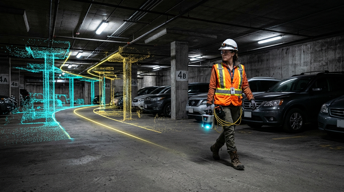
To overcome this challenge, modern spatial engineering relies on Mobile SLAM. Originating from autonomous robotics and planetary rovers, SLAM algorithms allow a surveyor to walk through a facility carrying a lightweight handheld or wearable mobile LiDAR scanner.
Terrestrial Fixed LiDAR vs. Mobile SLAM: Which Is Best?
Both technologies have specific roles in creating a comprehensive Strata Digital Twin:
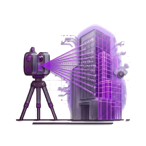
- Static Terrestrial Laser Scanning (TLS): Mounted on carbon-fiber tripods (such as Leica or FARO scanners). Scans take 2 to 5 minutes per setup and achieve ultra-high metrology accuracy (1mm to 2mm). Best suited for critical mechanical connections, boiler header tie-ins, and elevator core verticality audits.
- Mobile SLAM Scanners: Handheld or backpack-mounted devices (such as Leica BLK2GO or NavVis). The operator walks through corridors, stairwells, and 4-level underground parkades at a normal walking pace (1 meter per second), capturing 50,000 square feet per hour at survey-grade accuracy (5mm to 10mm).
Solving Strata Mechanical Blind Spots
In many older buildings, property managers lack accurate records of which valve isolates specific risers. When a leak occurs, maintenance personnel are forced to shut off water to an entire 200-unit building, triggering widespread resident disruption.
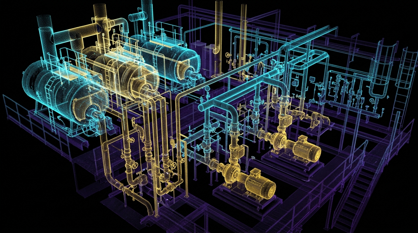
By deploying mobile LiDAR and SLAM, Tucker Technology Consulting captures every elbow, flange, isolation valve, and recirculation pump in a mechanical room down to the millimeter. This raw spatial data is then converted into parametric BIM objects—allowing emergency contractors to trace fluid paths in 3D before stepping foot into the room.
Learn more about SLAM algorithms, mobile mapping systems, and terrestrial laser scanners:
- NavVis: SLAM Technology & Mobile Indoor Reality Capture — Technical overview of simultaneous localization and mapping in GPS-denied built environments.
- Leica BLK2GO Handheld Imaging Laser Scanner — Handheld dual-axis LiDAR with visual inertial odometry for continuous spatial scanning on foot.
- IEEE Robotics and Automation Society: SLAM Algorithms — Academic and technical literature on spatial computing, feature extraction, and point cloud registration.