
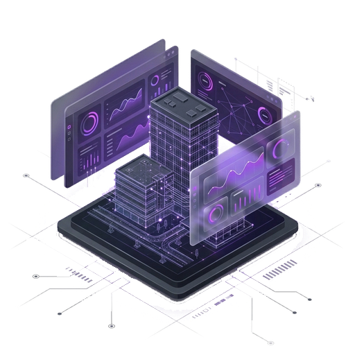
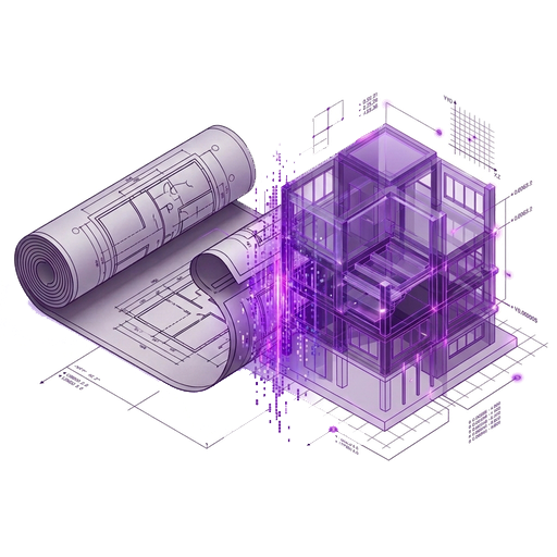

When an established residential strata building requires an updated Depreciation Report, structural envelope study, or roof replacement design, the traditional surveyor's toolkit usually involves tape measures, laser distance meters, clipboard sketches, and disruptive intrusive inspections.
Today, the discipline of Reality Capture has rendered those outdated methods obsolete. Reality capture is an umbrella term encompassing advanced optical, laser, and photogrammetric techniques that digitally record the exact spatial conditions of physical structures with millimeter precision—completely non-destructively and with zero resident disruption.
The Two Core Pillars of Reality Capture
In modern building documentation, two complementary technologies form the backbone of reality capture:
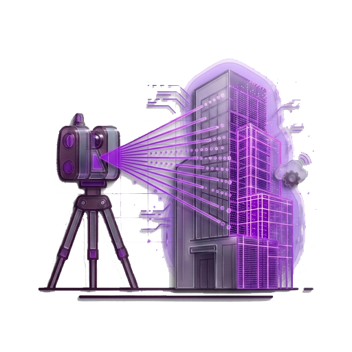
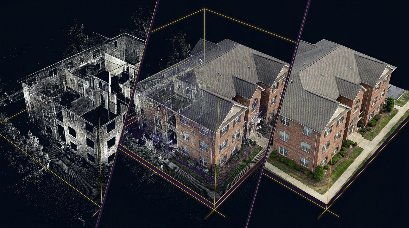
- LiDAR (Light Detection and Ranging) / Terrestrial Laser Scanning (TLS): Active sensors that emit hundreds of thousands of invisible eye-safe laser pulses per second. By measuring the time it takes for each pulse to bounce back from a surface (Time-of-Flight or phase shift), the scanner calculates an exact 3D coordinate (X, Y, Z) in physical space. The result is a dense, crystalline "point cloud" containing millions of measured coordinates.
- High-Resolution Photogrammetry: Passive optical capture. Specialized digital cameras capture hundreds of overlapping aerial and ground-level photographs from calibrated angles. Sophisticated computer vision algorithms identify matching pixel features across overlapping images to triangulate 3D geometry and project high-resolution photographic textures onto the surfaces.
USIBD Level of Accuracy (LOA): Protecting Strata Councils
Not all 3D scans are created equal. An iPhone handheld scan provides rough visualization, but lacks the geometric certainty required for million-dollar capital planning. To ensure institutional rigor, TTC adheres to the U.S. Institute of Building Documentation (USIBD) Level of Accuracy (LOA) specification:
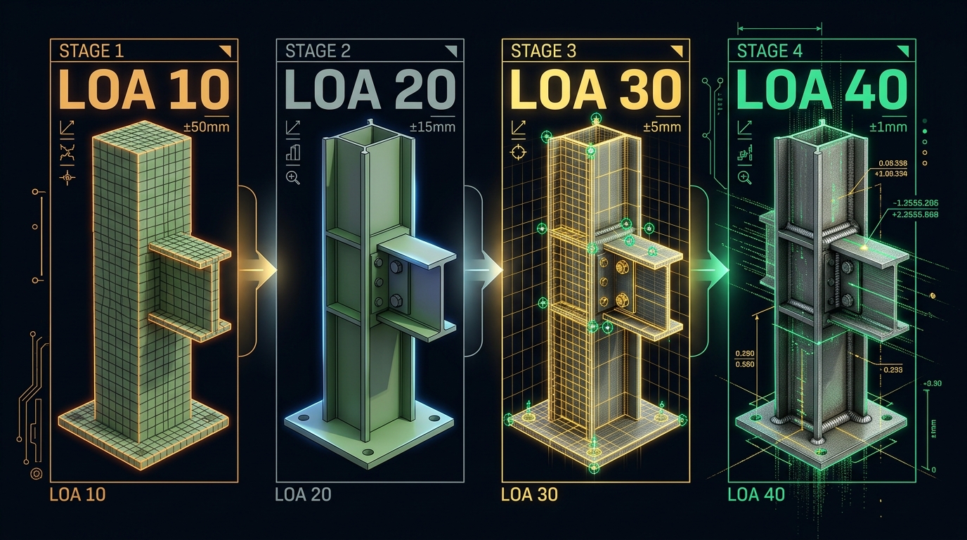
- LOA 10 (Reconnaissance): Positional accuracy within 50mm to 100mm. Suitable only for gross volume planning.
- LOA 20 (General Layout): Positional accuracy within 15mm to 50mm. Common for general architectural floor plans.
- LOA 30 (Institutional Standard): Positional accuracy within 5mm to 15mm. The TTC standard for exterior envelopes, balconies, and mechanical rooms.
- LOA 40 / 50 (Precision Fabrication): Positional accuracy down to 1mm to 5mm. Utilized for curtain wall structural anchors and elevator shaft alignment.
By commissioning scans certified to USIBD LOA 30, a strata council ensures that any engineering firm, roofing contractor, or window replacement provider can bid on identical, certified quantities—preventing costly change orders and contractor claims.
Explore international standards for 3D optical surveying and point cloud certification:
- USIBD: Level of Accuracy (LOA) Specification Guide for Building Documentation — The definitive benchmark for specifying and verifying dimensional accuracy in reality capture.
- ASTM E2807: Standard Specification for 3D Imaging Data Exchange (E57) — Universal vendor-neutral data format for storing 3D point cloud and imagery records.
- Leica Geosystems Reality Capture Technology — Terrestrial laser scanners and mobile imaging solutions delivering survey-grade spatial accuracy.
- FARO Technologies: Fundamentals of 3D Laser Scanning — Principles of terrestrial 3D scanning, phase-shift measurement, and point cloud registration.